
Historic Lows For The Mississippi River?
I took a walk on the river walk last night and couldn't believe what I saw! I've never seen the river so low!
I know it's been dry so the river has been dropping but I couldn't believe what I found last night.
When the river gets high we always take note. You can find all kinds of dates and river levels and I still hear many stories about the flood of '65. It did get me to thinking... what is the lowest the river ever got in Dubuque?
I checked a lot of websites, including listings by the DNR and with the Corps of Engineers but came up empty. Everything lists highs but when you look for lows, most sources say "information not available."
Our country host, Tim Koehler, is a river buff so I asked him if he had any ideas. He suggested simply calling the folks at the Lock and Dam #11.
After my initial call, I was put in touch with Gary Kilburg, Lock Master who tried to explain to me how the 'river stage' works.
He said while the current height of the river is something to take note of, it's probably not something to be alarmed about. Gary said they had a new data system installed in 2012 so that was as far back as his data would allow him to go. He said that the river is really getting to a point where boaters on the water really need to start paying attention.
Basically, places you might easily cruise your boat normally might require some special attention. He says the Locks and Dams are used to guarantee a depth of nine feet in the main channel, so as long as you stay there you should still be good to go. Venture out and you could run into some trouble.
I asked Gary to go one step further and try to explain to me what the river stage means. He said it does get confusing, but the river stage is always our "tail water," or the water you find on the lower side of the Lock and Dam.
Our "pool" is the water that you find on the upper side of the Lock and Dam, which really doesn't change much. They maintain that level within nine-tenths of a foot throughout the year.
So basically our tail or our stage is what falls. When you hear the river stage "at Dubuque" it's the measurement in relationship to the Lock or at the train bridge. It's a reference point that can be translated into sea level elevation. (It does get kind of confusing, doesn't it?)
Gary continued to explain that when you hear "we're at four point eight feet," it doesn't mean there's only four point eight feet in the river because there's always more than that in the channel.
If our river falls a little bit lower between Dubuque and Bellevue, we could see what's called a "flat tail," which means the Dubuque river tail will have the same sea level elevation as Bellevue's pool. That means the river here will be at the same level so we'll see very little current moving through the river.
I took the conversation a step further and asked Gary how much farther the river would have to fall before it started to affect commerce on the river. He said if the tail falls below three point eight it could mean there's no guarantee of the nine foot channel which would cause problems... again, it gets complicated and I didn't want to get things too confusing.
It really is fascinating to me so I hope our conversation gave you a little context as to how the river stage works. Truthfully, I'm not even sure if I have it straight.
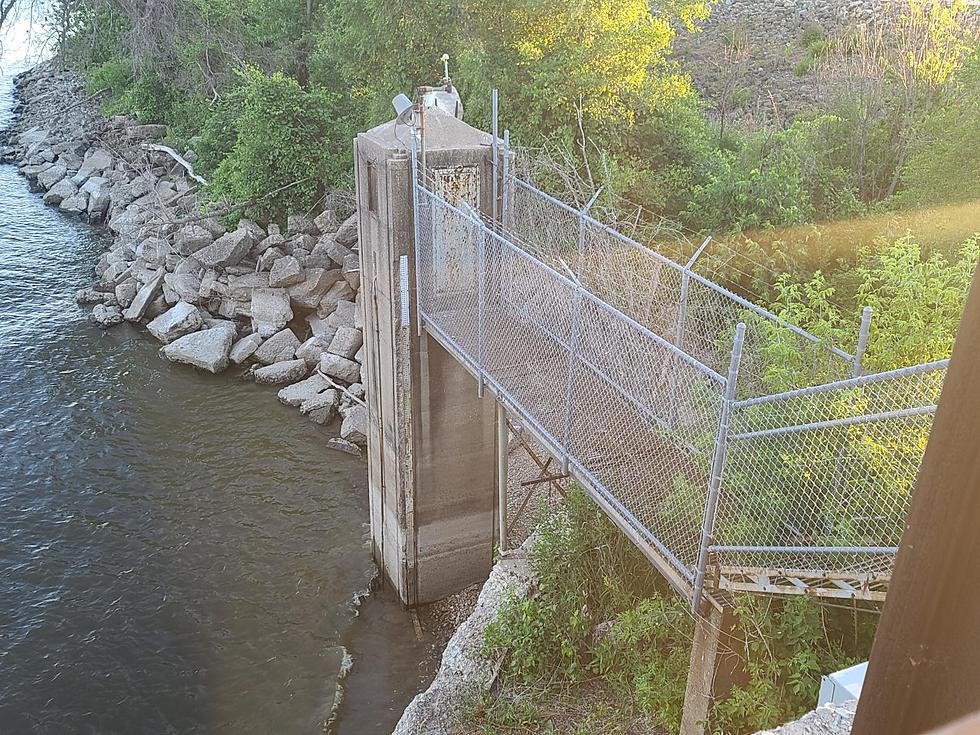
Here's a few more pictures I took last night that show just how low the water is:
I've never seen water below the bottom step! Here's another look from the bottom of the steps.
I went further down the walk and climbed down the steps.
People were walking their dogs along there shore that is usually all water.
Pretty crazy, right? If you have a metal detector it might be a good chance to walk down and find a thousand fishing hooks! Watch your feet!
~Chris Farber
LOOK: The most expensive weather and climate disasters in recent decades
More From 103.3 WJOD


![Luke Combs Debuts an Unreleased Song, ‘Good Ol’ Days,’ Onstage at Carolina County Music Fest [Watch]](http://townsquare.media/site/204/files/2021/06/attachment-LukeCombs-2.jpg?w=980&q=75)